Swiss Alps
The entire Alps range is 1,200 kilometers (750 miles) and stretches across eight countries from west to east: France, Switzerland, Monaco, Italy, Liechtenstein, Austria, Germany, and Slovenia. The portion of the Alps region known as the Swiss Alps features a host of famous summits and mountain massifs shared between France, Italy, Austria and Liechtenstein.
POPULAR MOUNTAINS
Schilthorn : elevation 2,970 meters (9,744 feet) - Above the village Mürren in the Berner Oberland region of the Bernese Alps overlooking the Lauterbrunnen Valley.
Mount Rigi : elevation 1,797.5 meters (5,897 feet) - Located close to Luzern in the Schwyzer Alps section split between the cantons of Schwyz and Luzern.
Mount Pilatus : elevation highest peak named Tomlishorn 2,128 meters (6,982 feet) - Overlooking Lake Luzern in the cantons of Obwalden, Nidwalden, and Luzern.
Mount Titlis : elevation 3,238 meters (10,623 feet) - Located close to Engelberg in the Uri Alps section on the border between the cantons of Obwalden and Bern.
Matterhorn : elevation 4,478 meters (14,692 feet) - Overlooking the town of Zermatt in the Pennine Alps section in the canton of Valais.
Mont Blanc : elevation 4,808 meters (15,774 feet) - Straddling the border of Italy and France in the Graian Alps section.
JUNGFRAUJOCH
Jungfraujoch is the area between the Mönch and Jungfrau that connects both peaks. Jungfraujoch, "the top of Europe", is Europe’s highest train station and is not to be confused with the Jungfrau mountain. Visitors get to enjoy The Top of Europe building featuring permanent exhibitions, ice caverns, restaurants, gift shop, outdoor activities, breath-taking panoramic views of the Swiss Alps and views of the Aletsch Glacier, the largest glacier in the Alps close to 23 kilometers (14 miles). The building also includes Europe’s highest altitude post office.
Cost with a Swiss Pass: Train from Grindelwald or Wengen to Jungfraujoch - 25% off.
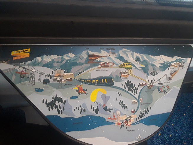
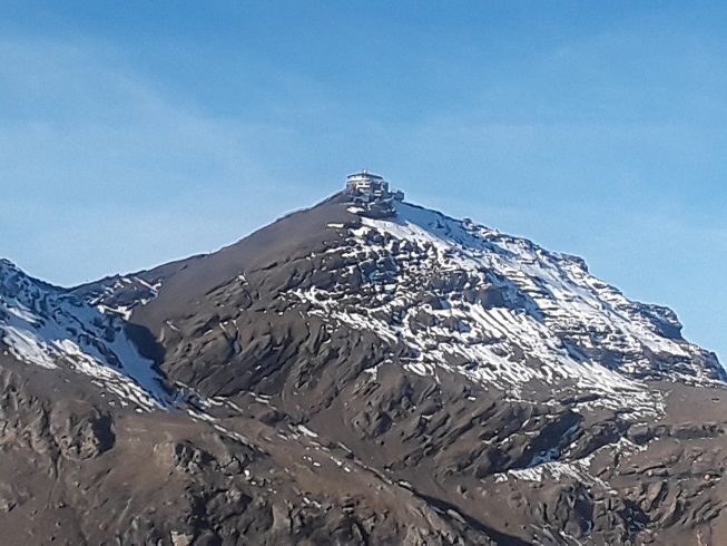
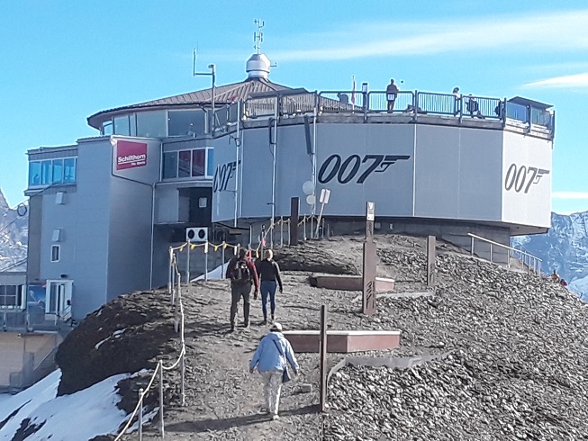
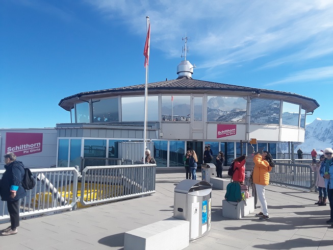
SCHILTHORN
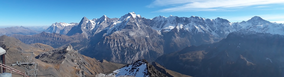
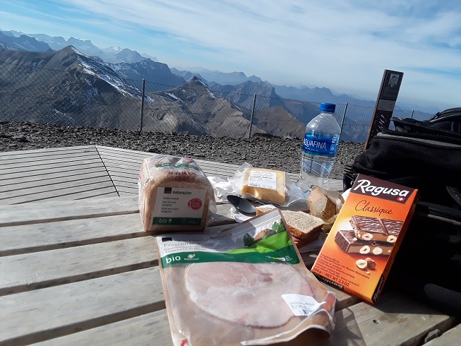
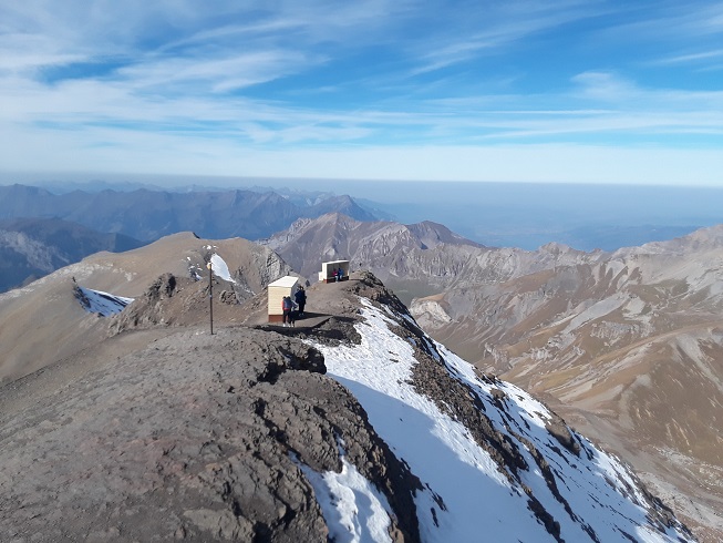
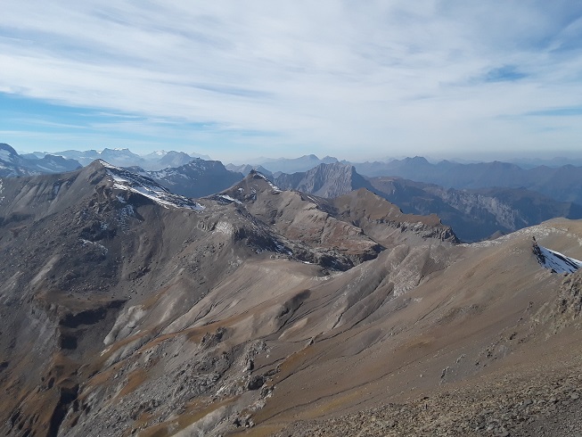
The Schilthorn is located above the village Mürren and Birg overlooking the Lauterbrunnen Valley at an elevation of 2,970 meters (9,744 feet) and is accessible by a series of cable cars coming from Lauterbrunnen. The summit offers one of the best panoramic views of the Alps and on a good clear day you can see as far as the Black Forest and just visible Mont Blanc. Piz Gloria, a 360 degree revolving restaurant located at the summit was featured in the 1969 James Bond movie On Her Majesty's Secret Services. The Schilthorn is a perfect spot for a picnic with fantastic views.
Cost with a Swiss Pass: Cable car from Mürren to Schilthorn - 50% off.
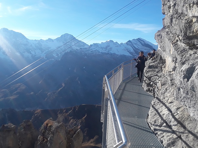
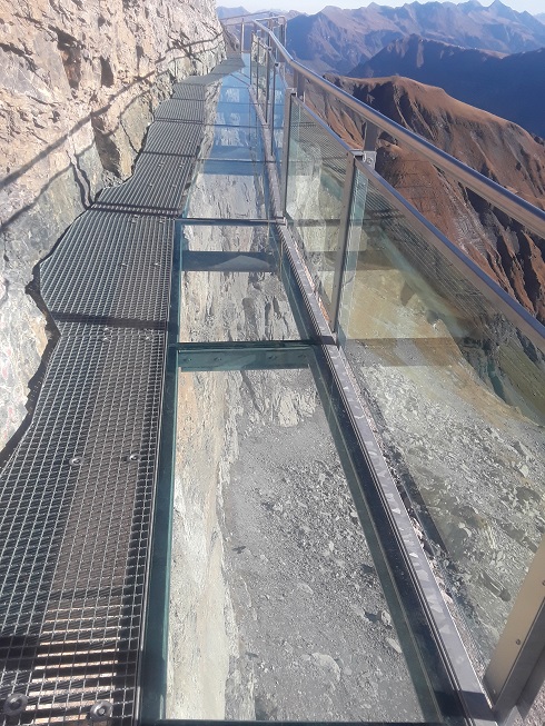
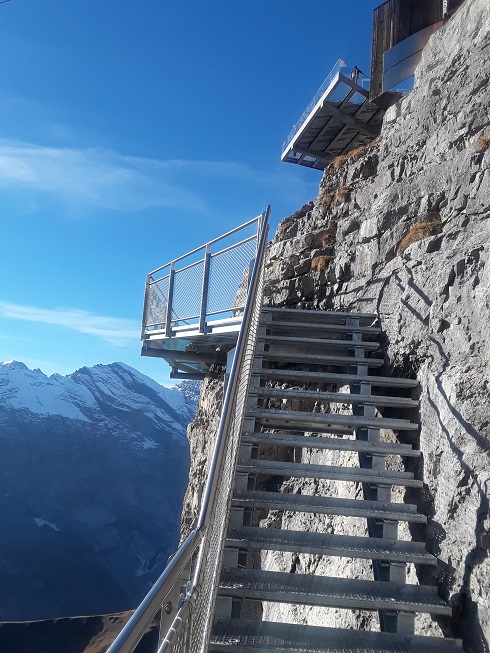
BIRG
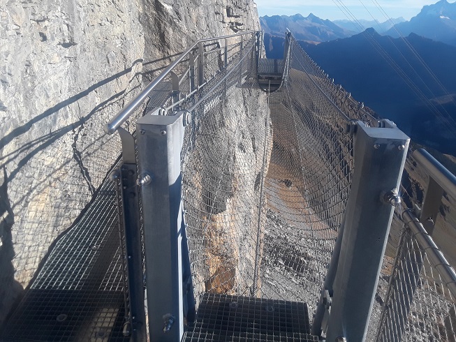
Birg is located between the village Mürren and the Schilthorn at an elevation of 2,684 meters (8,806 feet) accessible by cable car. Birg features a Thrill Walk - a 200-meter cliff pathway and a Skyline Walk - a platform situated over a vertical precipice, both offering panoramic views.
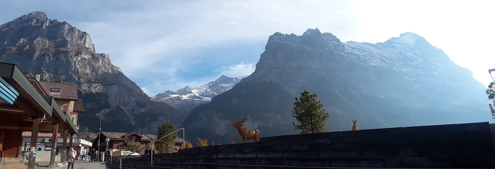
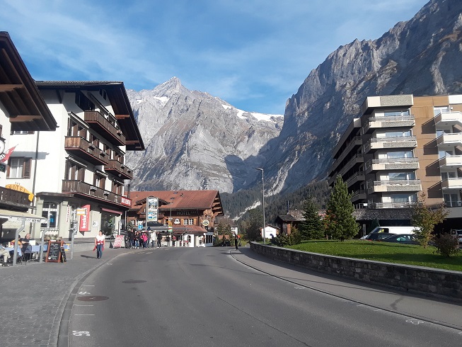
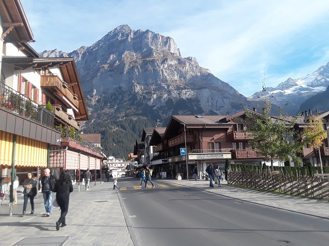
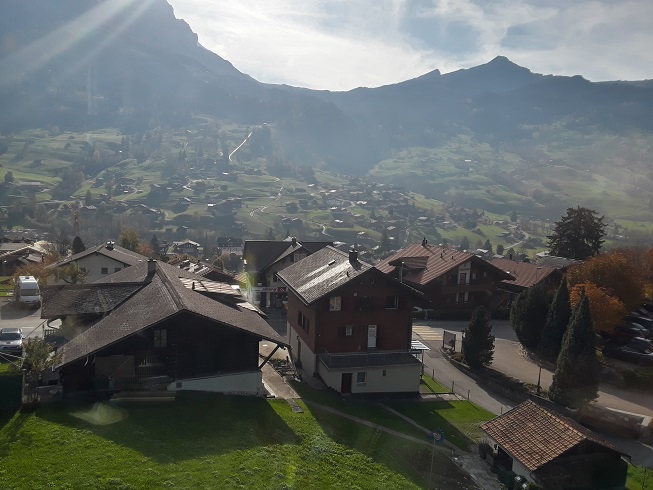
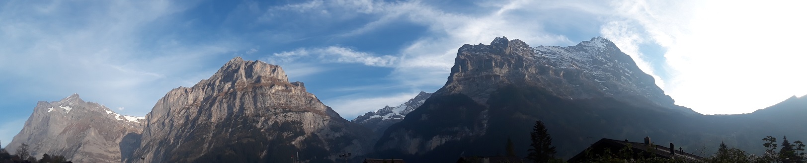
GRINDELWALD
Grindelwald is located at an elevation of 1,034 meters (3,392 feet) and is a popular ski resort in the winter. First (often referred to as Grindelwald-First) is a small summit located above Grindelwald accessible by cable car and is popular for hiking and fun outdoor activities like the First Flyer.